Explore the Great Shellfish Bay
http://mdroots.thinkport.org/interactives/greatshellfishbay/
Welcome explorer!
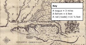
 Jerome Hawley and John Lewger], Nova Terrae-Mariae tabula, 1635, Huntingfield Collection, MSA SC 1399-1-526. Map courtesy of the Maryland State Archives. |
But what will you find? The only information you have is a map and some descriptions from other explorers. You've read about this large body of water filled with fish and surrounded by huge trees. You've even heard stories about giant-like natives with very strange customs. Now, you've come to find out for yourself why the Algonquian Indians named this body of water Chesepiooc or "great shellfish bay."
How to Explore the Great Shellfish Bay
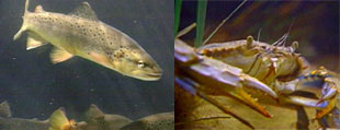
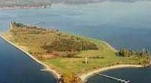
 Wildlife of the Chesapeake Bay  St. Clement's Island |
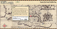
When you click on a spot, a popup window will appear. The popups have two different kinds of information: quotations from 17th-century explorers, and geology facts about the Bay and its changes over the years. There are 15 highlighted spots on the map. Be sure to explore them all!
Maps for this activity courtesy of Maryland State Archives. Additional maps and information about mapping the Chesapeake can be found at the Maryland State Archives Museum Without Walls (http://www.mdarchives.state.md.us/msa/educ/exhibits/html/mpt.html) or in The Maryland State Archives Atlas of Historical Maps of Maryland 1608-1908 by Edward C. Papenfuse and Joseph M. Coale III. Baltimore: Johns Hopkins University Press, 2003.
© 2026 Maryland Public Television. All Rights Reserved.